


You’re invited!
Join KOREC at one of their regional UAV days across the UK and Ireland


Tailored for professionals in land surveying, construction, and environmental monitoring, discover how our cutting-edge UAV aerial mapping solutions can provide unparallelled accuracy and valuable insights, even in the most remote or challenging locations.
Event Schedule
- York: March 4th – York Racecourse, Knavesmire Road, YO23 1EX
- Ireland: March 5th – Naas Racecourse, Tipper Road, Co Kildare, Ireland
- Exeter: March 12th – Exeter Racecourse, Kennford, EX6 7XS
- Huntingdon: March 14th – Huntingdon Racecourse, Thrapston Road, PE28 4NL
10AM – 4PM
These events will include the opportunity to explore:
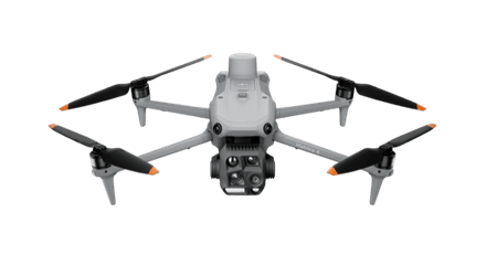
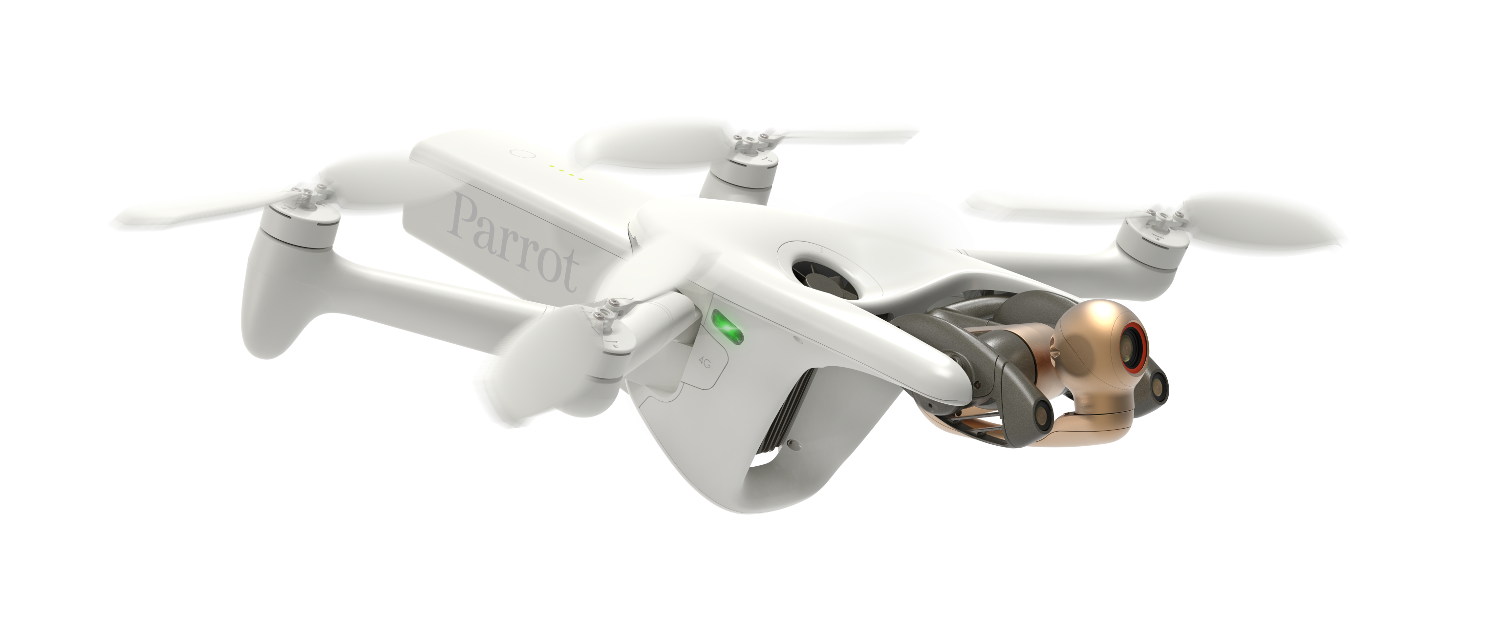
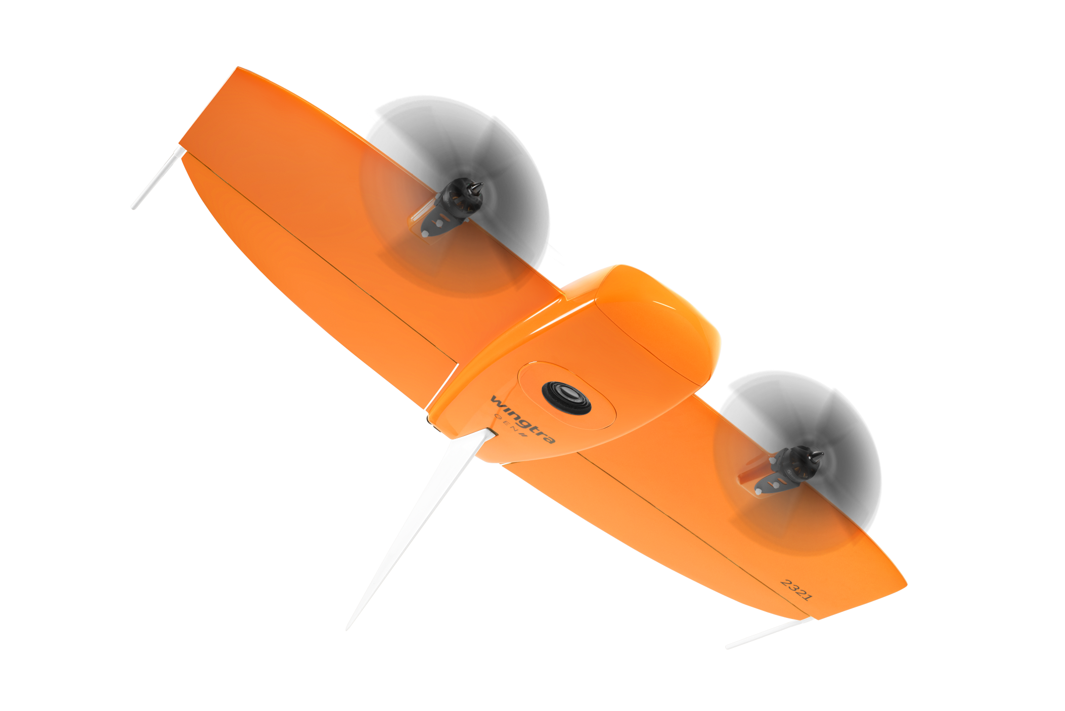
- Advanced capabilities of DJI, Parrot, AgEagle and Wingtra drones
- Essential insights on EU/UK drone flying regulations
- Best practices for ground control
- Comprehensive data processing options
- Live drone demonstrations (weather permitting)
Don’t miss your chance to enhance your knowledge, and to network with industry experts.
For any further information, please contact:
John Cartledge - Mapping and GIS Business Area Manager,
Atalanta Lawson - Events Coordinator,
Register early as places are limited
We look forward to seeing you there